Italian World War One maps
Within the Europeana collections 14-18 project maps from the First World War kept by the Central National Library of Florence have been digitised and made available online. Most of the maps were produced by the Institute of Military Geography and the Geographical Institute, De Agostini.
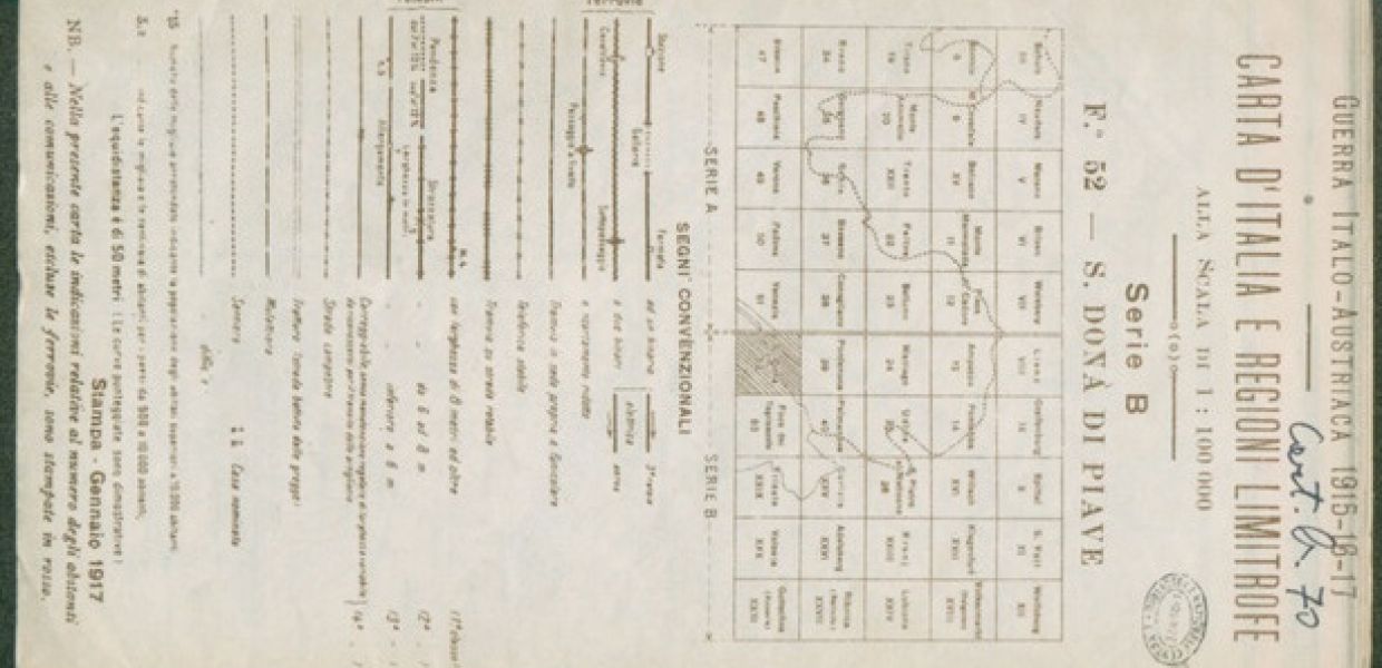
The maps represent for example the geographical and economical border of the Italian Dalmatia, maps of the national aspirations, border and territories between Italy and Austria, Italy and the armistice line of Villa Giusti (November 1918) etc.
Provided by: Central National Library of Florence